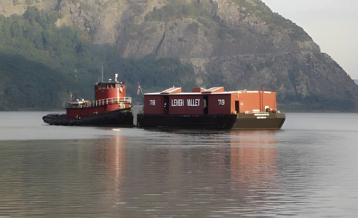
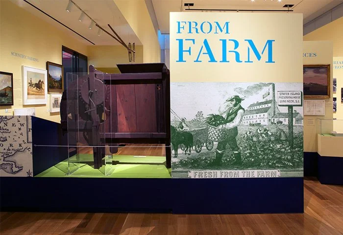
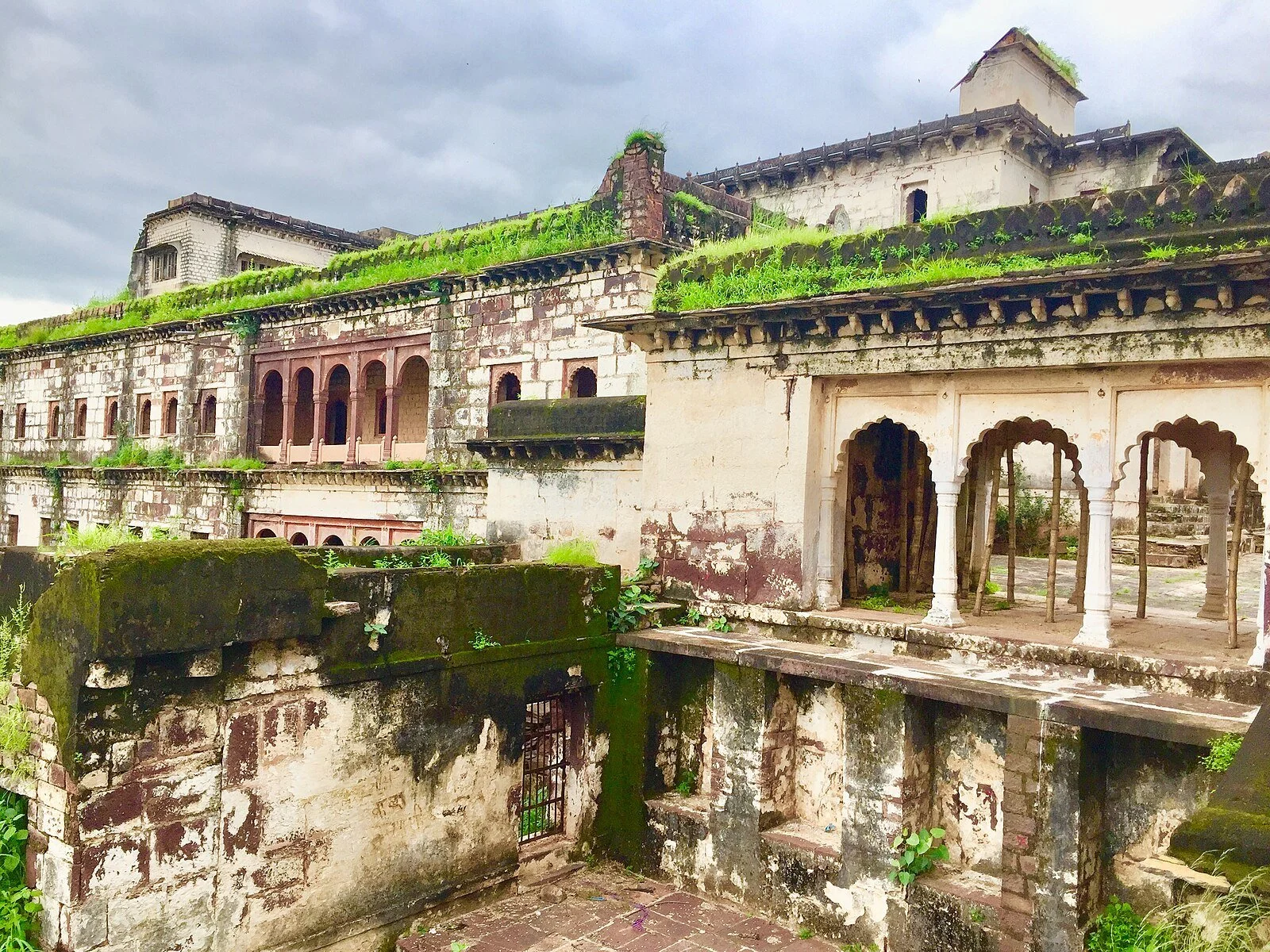
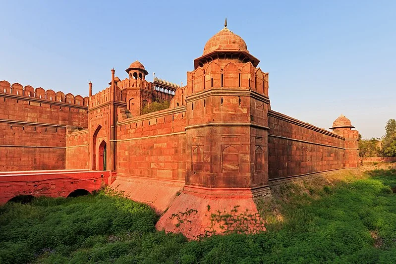
• About
  • Selected Projects
  • Tell Me More! Podcast
  • Talks & Events
  • Teaching
  • Contact
Menu

Liz McEnaney

  • About
  • Selected Projects
  • Tell Me More! Podcast
  • Talks & Events
  • Teaching
  • Contact

Building Shells: Building Community

This project is being made possible with the generous support of the James Marston Fitch Charitable Foundation, and the New York State Council on the Arts.

No one wants an empty building shell in their neighborhood. These blighted structures – lacking floor plates and roofs – are generally seen as nuisances , eyesores and beyond salvageable and therefore should be demolished. It is often hard to see the social, economic, and environmental benefits of preserving these structures (most of which are historic buildings).

Newburgh, New York is only four square miles but has over 600 vacant buildings (10% of its buildings stock). Like Poughkeepsie, Kingston, and other New York State post-industrial cities, the concentration of these buildings overlaps with the city’s lowest income level and highest crime rate. Building Shells: Building Community offers a novel preservation approach to the persistent problem: How do you break the downward cycle of vacancies? And, what do we do with the hundreds of building shells that already exist in these cites?

Using Newburgh as a case study, Building Shells: Building Community proposes an alternative to demolition. Inspired by the accessible spirit of tactical urbanism, the project creates a toolkit that provides communities with design solutions and technical resources to help them reactivate building shells with interim uses and programs. The toolkit also provides innovative approaches to how residents and municipalities can work together to stop buildings from becoming shells.

The project is spear-headed by Naomi Hersson-Ringskog and Liz McEnaney. Check out the Fullerton Center’s website for more details.

DSC07912.JPG
DSC07925.JPG
P1040725.JPG

Look! Mira! Architectural Scavenger Hunt

The Look! Mira! Architecture Scavenger Hunt is a fun way to explore Newburgh’s great architecture  – and learn some new vocabulary and history! You walk past these buildings everyday. Now is a chance to really look at their details. 

For more information about Newburgh’s cultural history, log onto Urban Archive for Walking Tours of Dubois, Johnston, Lutheran and William Streets.

The Look! Mira! Architectural Scavenger Hunt was made possible by  a grant from John E. Streb Fund for New York of the National Trust for Historic Preservation.

LOOK_MIRA_Walkingtours-01.jpg

Tell Me More!

TELL ME MORE is a podcast for kids and adults. Join us as we time travel through Dubai with an 8 year old, to uncover what the city looked like in the beginning, told by the people who made and experienced it. Co-hosted by Spatika and Liz McEnaney. Produced by Amaeya Media.

Click here for latest episodes.

Young by modern standards, the UAE is celebrating the 50th anniversary of its founding in December 2021, and Dubai is a dynamic emirate that constantly blends past, present and future in surprising ways. Dubai continues to attract a global audience in awe of its supersized ambitions and achievements. At the same time, it is filled with places and people that connect us to its past, and that is a remarkable achievement for an emirate whose population has grown exponentially from 0.1m to 3.3m since 1971.

Fifty years represents an entire working lifetime for those who have contributed to Dubai’s transformation into a modern-yet-deeply-rooted megapolis. Many of the people who architected and designed the city are still living in Dubai today. They remember when Sheikh Rashid Tower (Dubai World Trade Center) was the tallest landmark announcing the arrival to the city to its visitors, when Al Ghurair Centre was the only destination for shopping, when barjeels and water towers punctuated the skyline, and when pearl divers still went out to sea.

Screen Shot 2021-10-04 at 3.56.07 PM.png

Design For Play

Urban Design Initiative

Design For Play was an ideas competition for how to transform the streets of Newburgh, NY so that children, young and old, could safely play, learn, socialize and have fun in Summer 2020, and beyond. We had an incredible response to the competition and received over 70 proposals with ideas ranging in scale from individual play elements to systems that would transform entire blocks. Three winning design teams were chosen by a diverse jury for their creative response to this challenge. All winning projects were built in 2020. Click here for more information.

Images of the three winning projects are seen on the left: Paint + Play designed by Anousae Eirabie and Yaxin Jiang (photo by Brandon Codrington); makerBoards designed by downupNY; and Imagination Pavilion designed by Starr Whitehouse Landscape Architects.

This competition was a community effort co-organized by Design For Six Feet / Hudson Valley Collaborative, the Awesome Newburgh Foundation, the City of Newburgh, Columbia GSAPP Hudson Valley Initiative, Dept of Small Interventions, The Fullerton Center, and the Newburgh Armory Unity Center. We would like to thank the Williams Legacy Foundation and the J.M. Kaplan Fund for providing key financial support to make this competition possible — and get Newburgh playing again!

Screen Shot 2021-10-04 at 4.02.40 PM.png
2020-09-26+MakerBoards+KL+Photo+13+-+3+kids.jpeg
P1070089+(1).JPG

SS Columbia Project

Executive Director, Board Member

“With a good imagination—and sea legs to navigate the gaping holes in the wooden decks—it is possible to picture cruising along the Hudson River aboard the S.S. Columbia, taking a twirl in the ballroom or sipping a brew in its beer garden.” (Wall Street Journal, Feb 4, 2016)

Restoring the 1902-built National Historic Landmark steamboat SS Columbia to revive the tradition of steam travel on the Hudson River and to reconnect New York City to the Hudson Valley cities and towns. To date, the project has raised $4.6 million for capital projects and operations, including stabilizing the hull and towing the boat from Detroit to Toledo to Buffalo, where it is now undergoing further work. The SS Columbia Project also partners with cities on dock-building campaigns in the Hudson Valley.

Click here for a walk through of Columbia shot in 2017 by Derrick Belcham.

Photo credits: Columbia arriving in Buffalo, Gene Witkowski; Columbia in shipyard, SS Columbia Project.

GVW06-1100x400.jpg
DSC05269.jpg
GVW11.jpg

Hudson Rising

Documentary Film Producer
Hudson Valley, New York State
2010 - 2013

We did whatever it took to document the Hudson Valley in the wake of the 2008 financial crisis. The Hudson Valley experienced a renaissance of sorts, but not everyone benefited from it. Hudson Rising — a documentary film commissioned by OurHudson — tells the stories of citizens who were addressing pressing issues about the region’s open space and farmlands, economic vitality, urban infrastructure, and quality of life.

Hudson Rising profiles entrepreneurs and recent immigrants starting new businesses on abandoned Main Streets, scientists and artists bringing new life to empty factory buildings and kids building community gardens in decaying neighborhoods. The documentary also tells the stories of farmers reinventing farming and activists working to protect the landscape and make it accessible, including the fight to save the world-famous Shawangunks Ridge, the effort to convert an abandoned railway bridge into an aerial park, and the initiatives to restore sturgeon, shad and even a steamship to the Hudson River.

The documentary was screened at venues throughout the Valley in the Spring and Summer of 2013 as part of OurHudson’s campaign to engage the Valley’s citizens in a conversation about what it will take to make the Hudson Valley great again.

15771249003_5d5c379f93_o.jpg
OurHudson_FallKill.jpg

OurHudson Barge Tour

Producer and Director
Hudson Valley
2010-2013

Special Assistant to Commissioner of New York State’s Hudson-Fulton-Champlain Quadricentennial Celebration
Hudson Valley
2008-2010

OurHudson was a coalition of non-profit organizations, government agencies, and citizen activists focused on the future of the Hudson Valley.

OurHudson convened whistle-stop tours aboard historic barges (Pennsylvania Railroad Barge #399 and Lehigh Valley Railroad Barge #79) stopping at Hudson River Valley cities and towns. Community workshops were held to ask hard questions about work, infrastructure, environmental vulnerability and opportunity and more, and a Task Force of experts was assembled to write recommendations. Later, a traveling exhibition was launched and the public was invited to tour the barge exhibition to see how citizens of the Hudson Valley envisioned restoring economic vitality to their riverfront towns, while improving the health of the river and protecting our valley’s world-renowned scenic beauty.

OurHudson also organized river-long flotillas; developed a prototype for town docks in the Hudson River; and launched Heritage Weekend, a weekend of open houses at museums and historic sites in the Hudson Valley.

Click here to see a short video about OurHudson.

OurHudson_barge_here_3.jpg
1234072_644282268936952_1306059921_n-1.jpg
OH_04.jpeg
IMG_2663.jpg
563093_644481568917022_1724679823_n.jpg
OH_03.jpeg
Kingston Session 04.JPG

Farm to City: Staten Island

Guest Curator
Museum of the City of New York
New York, New York
2011-2013

On view from September 13, 2012 - January 21, 2013

From Farm to City: Staten Island 1661-2012 looked at the individuals, communities, institutions, and city agencies that shaped Staten Island’s development over a 350 year period. Through compelling case studies, the exhibition examined not only the emergence of Richmond County as its own place, but also the Island as a landscape that shaped and was shaped by the larger historical forces of New York City.

Strategically located at the entry to the world’s greatest harbor, Staten Island has served as a breadbasket for New York City; a pleasure ground of estates and sporting grounds, including cricket, tennis, and foxhunting; a refuge for the needy at charitable institutions such as Sailors’ Snug Harbor; a center for early industrial activity at Linoleumville and Factoryville; an international port with ship-building facilities; and a place people call home, from early suburbs to public housing developments. From Farm to City tells these stories through a series of case studies highlighted by historic maps, photographs, and original objects, as well as contemporary photographs by Jeff Liao.

As a companion to the Museum of the City New York's 2012 exhibition, From Farm to City: Staten Island 1661-2012, the Museum has created a new website Mapping Staten Island to explore the landscape of Staten Island through a curated collection of historic maps and images. The site guides visitors through a chronological sequence of historical milestones that showcase a unique set of richly detailed maps and atlases drawn from an array of cartographic archives. Visitors will be able to compare maps from different periods of time, as well as unrealized plans for the Island, exploring the development of the Island over time, as well as roads not taken. 

Photos of exhibition: Pure+Applied. Selected images of Staten Island: Jeff Chien-Hsing Liao for From Farm to City: Staten Island 1661-2012.

FarmtoCity1.jpg
FarmtoCity2.jpg
FarmtoCity3.jpg
FarmtoCity5.jpg
FarmtoCity4.jpg
Staten+Island.jpg
FDR+beach.jpg
V.jpg

MAPUTO MODERN

Research and writing
Maputo, Mozambique

Maputo Modern: The Changing Identities of an African City is the story of a place, the people who shaped it, and the forces of history that built a city and then froze it in time. Through previously unpublished photos, architectural drawings, and maps, this guidebook provides a never before seen view of the evolution of a country and its complex peoples through the city they left behind.

With Art Deco theaters, mid-century modern hotels, climate-sensitive schools, modernist housing blocks, and Rationalist civic buildings, Maputo, Mozambique is one of the most important collections of African modern architecture and is almost completely unknown outside the Portuguese-speaking world. 

Maputo Modern looks at the city’s establishment, early planning, colonial development, independence followed by civil war, and eventual stabilization. The city’s identity has changed through these many periods and historical ruptures, creating a dynamic and evolving urban condition. The book focuses on a few key architects who helped the city mature before independence, and asks what the future of the city could look like. 

Initial research was made possible by a grant from the Graham Foundation. Liz and Alan most recently presented their research at the 2017 Docomomo Conference in Phoenix, Arizona.

Photo credits: Iwan Baan for Maputo Modern.

Visit us at MaputoModern.org
Follow us on Twitter @maputomodern

maputo_12-01_2713.jpg
maputo_12-01_2334.jpg
maputo_12-01_2100.jpg
maputo_12-01_2117.jpg
maputo_12-01_2187.jpg
maputo_12-01_2191.jpg
maputo_12-01_2316.jpg
maputo_12-01_2305.jpg
maputo_12-01_2723.jpg
maputo_12-01_2689.jpg
maputo_12-01_2679.jpg
maputo_12-01_2573.jpg
maputo_12-01_2535.jpg
maputo_12-01_2444.jpg

BLDG BLOK

Research and Multimedia Project
Brooklyn, New York
2010-2012

Launched with Dana Karwas, BLDG BLOK was an initiative that brought together historians, digital media artists, and programmers to experiment, invent and create new ways to present history. 

Key programs included The Historian vs. The Programmer, an event featuring historian Francis Morrone and live coding programmers responding to his narrative. 

BLDG BLOK was housed at the NYU-Poly Incubator in DUMBO, which was formed in partnership with NYCEDC.

Screen+Shot+2018-02-05+at+8.10.41+PM.png
BLDG BLOK email.png
Screen+Shot+2018-02-05+at+8.10.55+PM.png

GOBINDGARH FORT

Site Interpretation & Educational Outreach
Amritsar, India
2012

Working in partnership with Cultural Resource Conservation Initiative (CRCI), Liz prepared an educational outreach & interpretation plan for Gobindgarh Fort that was submitted to the client, Punjab Government, Department of Tourism, as part of a larger comprehensive conservation management plan. Her plan included recommendations for the installation of descriptive and story board signage, the development of a guide training program, and the program of several museums and interpretation centers at the fort.

Located outside the walled city of Amritsar, Gobindgarh Fort protected the Golden Temple situated at its heart of the sacred Sikh city. The fort was original built by chieftans of the Bhangi misl. In 1802 Maharaja Ranjit Singh established his authority in Amritsar by peacefully taking control of the fort from the misl chiefs and naming it after the tenth Sikh Guru, Gobind Singh. Ranjit Singh’s takeover of Amritsar, which followed his takeover of Lahore three years earlier, established him as leader of the newly consolidated Punjab. His administration and military included persons of Hindu, Sikh, Muslim and Christian faiths – a composition that suggests Ranjit Singh’s pursuit of the ideals of freedom and religious tolerance, which still define Punjab today.

Ranjit Singh believed that whoever controlled Gobindgarh, controlled the larger kingdom. Because of this, he spent a large sum of money to strengthen the fort. Its system of fortification adapted elements of European fort design, particularly the French tradition, likely influenced by two former French officers of Napoleon who joined Ranjit Singh’s military forces. The fort then held the repository of Ranjit Singh’s toshakhana, the royal treasury, and was said to house the Koh-i-Noor diamond.

Following the Anglo Sikh wars in 1846, the fort was taken over by the Bengal Army of the East India Company government, and continued to by under military occupation in independent India, until its handover to Punjab Government in 2006.

Photo credits: Wikimedia Commons (top); Amritsar Tourism (bottom).

1024px-A_far_view_of_the_inner_gate_of_Gobindgarh_Fort_(25064747588).jpg
gobindgarh-fort-amritsar-tourism-entry-fee-timings-holidays-reviews-header.jpg

Imperial Highway & Grand Trunk Road

Site Interpretation & Educational Outreach
Punjab, India
2012

Working with Cultural Resource Conservation Initiative (CRCI), Liz prepared an interpretive framework for the Grand Trunk Road & Imperial Highway that addressed the unique cultural dynamism found along the route and that engaged the local community and educational institutions. Liz proposed interpretive signage along the route that addressed the following five major themes: travelers; cultural heritage; agriculture; religion; and military history. The also plan included detailed recommendations for three key sites: Serai Amanat Khan, Sultanpur Lodhi, and Aam Khas Bagh.

Images: Wikimedia Commons.

Sarai.jpg
Kos_Minar_04.jpg

Ellora Caves

Site Interpretation & Educational Outreach
Ellora, India
Spring 2009

As site interpretation & educational outreach consultant, Liz drafted a plan that communicates the values and multiple layers of significance of the Ellora Caves to a range of audiences and is guided by the principles outlined in the ICOMOS Charter for the Interpretation and Presentation of Cultural Heritage Sites. Her final recommendations were incorporated into the comprehensive conservation management plan for the Ellora Caves prepared by Cultural Resource Conservation Initiatve for its client, the Archaeological Survey of India.

The Ellora Caves, located in the rocky, hilly regions of the Deccan plateau, date between the fifth and thirteenth centuries AD and comprise temples belonging to the Brahmanical, Buddhist and Jaina religions. These cave temples were primarily monsoon retreats, vasa for the Buddhist and the Jaina monks. During the monsoons, when it was difficult or the monks to wander across the country, spreading their teachings and collecting alms, they would take shelter in these caves, meditate and discuss important religious ideas. The architectural splendor of these cave temples show that they were heavily patronized by the rulers, merchants and mercantile guilds, who were probably the followers of Buddhism.

Images: Wikimedia Commons.

1_Ganga_Yamuna_Saraswati_at_Ellora_cave_Hindu_India.jpg
DSC05780_Ellora_Caves,_Aurangabad,_India.jpg

Red Fort

Site Interpretation & Educational Outreach
Delhi, India
2007

In the spring of 2007, Liz worked with Cultural Resource Conservation Initiative, a Delhi-based architectural conservation firm, to prepare a conservation management plan for the Red Fort in Delhi, India. As site interpretation and educational outreach consultant she met with conservation architects, landscape architects, art historians, urban planners and designers as she drafted an interpretation strategy that communicated the multi-layered history of the site to visitors. Her final recommendations, which included walking tours, audio guides, site maps, and building signage, were submitted to the client, the Archaeological Survey of India.

Built as a palace fort by the Emperor Shahjahan in the 17th century, the Red Fort today tells the story of Indian history from the Mughal period to Colonial times to the struggle for independence. This history can be read in the existing built fabric – a unique assemblage of imperial structures, pavilions, gateways, service areas, and bazaars all planned around courtyards and gardens, presenting a richly women urban fabric.

800px-Red_Fort_in_Delhi_03-2016_img1.jpg
prev / next
Back to Selected Projects
3
Building Shells: Building Community
tempImage7Xcq7A.gif
1
Look! Mira! Architectural Scavenger Hunt
1
Tell Me More! Podcast
Screen Shot 2021-10-04 at 4.02.40 PM.png
3
Design For Play
GVW11.jpg
3
SS Columbia Project
pic1.jpg
2
Hudson Rising Film
Our Hudson Barge Tour_2009-2010_Liz (1).jpg
7
Hudson River Barge Tour
8
Farm to City: Staten Island Exhibition
maputo_12-01_2535.jpg
14
MAPUTO MODERN
Screen+Shot+2018-02-05+at+8.10.55+PM.png
3
BLDG BLOK
2
GOBINDGARH FORT
kos_minar_featured-1.jpg
2
Grand Trunk Road
2
Ellora Caves
1
Red Fort